10 hikes over 5 miles to explore in southeastern Massachusetts
Fall is the perfect time for long hikes through the woods – it’s warm enough that your toes won’t freeze and cool enough that the chocolate in your trail mix won’t melt. Plus, there’s plenty of colorful fall foliage to enjoy. If you think you need to travel to New Hampshire or western Massachusetts to go for a long hike, think again! The Buzzards Bay region is home to many trails that stretch for miles. Here are 10 places close to home where you can take a five-mile hike or longer.
1. Southeastern Massachusetts Bioreserve (Fall River/Freetown)
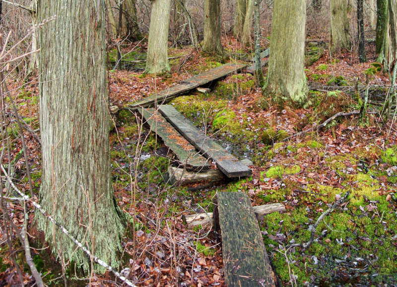
Walk through an Atlantic white cedar swamp at Copicut Woods. The Cedar Swamp Trail here is part of more than 5 miles of trails at this section of the Southeastern Massachusetts Bioreserve.
Nestled along the boundary of Fall River and Freetown, the Southeastern Massachusetts Bioreserve is one of the largest unfragmented forests in eastern Massachusetts. With over 13,000 acres of towering trees, babbling streams, and placid ponds, you can spend hours exploring the Bioreserve and never get bored. (Download trail map)
Begin at Copicut Woods to discover an Atlantic white cedar swamp along a network of 5 miles of trails. Or head to Freetown/Fall River State Forest and journey to “The Ledge,” where you can climb up a steep hill to enjoy an outstanding treetop view.
2. Allens Pond Wildlife Sanctuary (Dartmouth)
With 7 miles of hiking trails spanning more than 600 acres of protected beaches, fields, forests, and salt marshes, Allens Pond Wildlife Sanctuary in Dartmouth is a destination for those who love to explore wild, diverse habitats. From sandy, windswept shores to working farms along the sanctuary’s edge, Allens Pond’s scenery is among the most spectacular on Buzzards Bay.
If you enjoy birdwatching, there are countless opportunities to spy herons, ospreys, and songbirds along 7 miles of trails at Allens Pond. Nature lovers young and old are in for a treat at this beautiful Mass Audubon sanctuary on the Bay’s shores. (Download trail map)
3. Destruction Brook Woods (Dartmouth)
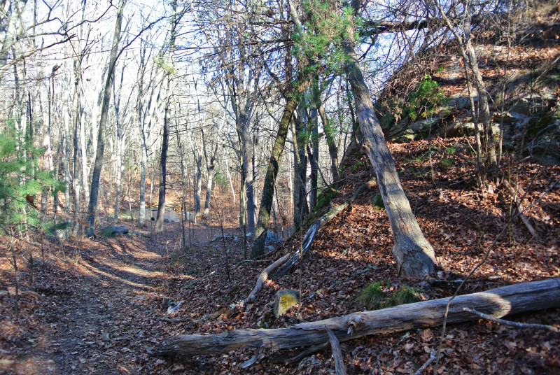
Wind downhill through Happy Valley, where large glacial erratics rest in the forests of Destruction Brook Woods.
Dartmouth Natural Resources Trust’s popular Destruction Brook Woods offers 10 miles of trails and plenty of options for intrepid hikers. Peer into the region’s history at the P. Russell Homestead and Gidley Cemetery, admire ducks rafting on quiet Destruction Brook, or hike through the hilly forests of Happy Valley. If you need to take a break, soak up the scenery from one of the trailside benches. (Download trail map)
4. Cornell Farm & Frank Knowles/Little River Reserve (Dartmouth)
There’s twice as much to explore at the two connected properties of The Trustees’ Cornell Farm and DNRT’s Frank Knowles/Little River Reserve in Dartmouth. Together, these properties boast more than 9 miles of trails through hardwood forests and the lush salt marshes that form the headwaters of Little River. (Download trail map)
5. Nasketucket Bay State Reservation & Shaw Farm Trail (Fairhaven/Mattapoisett)
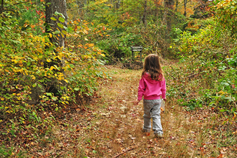
Take a family hike on the scenic trails of Nasketucket Bay State Reservation in the fall.
For a long walk that comes with sparkling water views, look no further than Nasketucket Bay State Reservation. With a total of five miles of trails through coastal fields and forests, a hike at Nasketucket Bay State Reservation is the perfect way to enjoy Buzzards Bay’s coastal habitats in fall. (Download trail map)
Begin at the Coalition’s Shaw Farm Trail, which brings walkers from the paved Phoenix Bike Trail through farm fields and forests to the reservation’s Bridle Trail. From there, you can connect to either the Holly Trail or the Salt Marsh Trail, both which lead to the rocky shore of Nasketucket Bay.
6. Rocky Gutter Wildlife Management Area (Middleborough)
Take a wild adventure through thousands of acres of remote forest at Rocky Gutter Wildlife Management Area in Middleborough. Fifteen miles of old logging trails wind through this property, creating flat, easy paths through the mature pine forest. Because this is a large wildlife management area that is mostly maintained as wildlife habitat, it’s best for active outdoor explorers who feel comfortable using a compass. Most importantly, don’t forget to wear blaze orange during hunting season. (Download trail map)
7. Myles Standish State Forest (Carver/Plymouth)
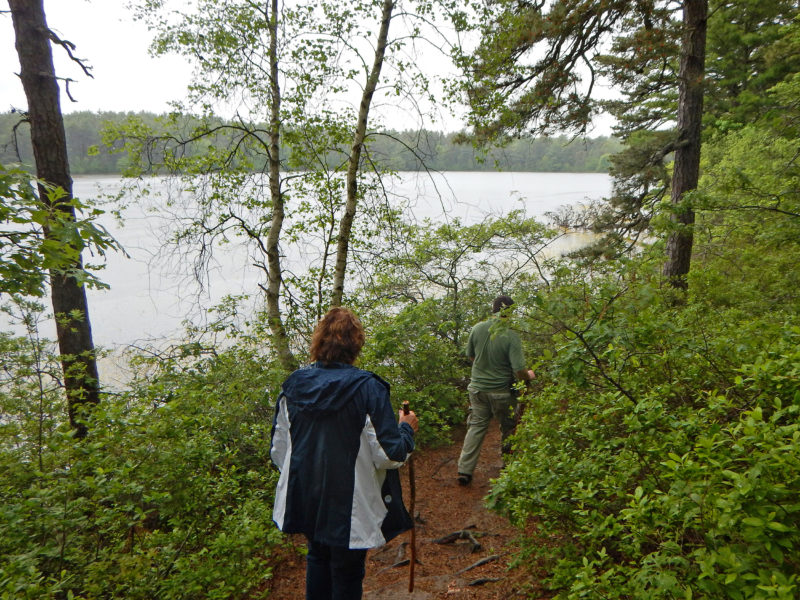
Discover dozens of coastal kettle ponds among Myles Standish’s 12,000 acres of forests.
Discover deep forests at Myles Standish State Forest, the largest publicly owned recreation area in southeastern Massachusetts. With 13 miles of hiking trails, 15 miles of bike trails, and 20 miles of equestrian-friendly trails, Myles Standish State Forest is home to the most extensive trail network in the Buzzards Bay region. (Download trail map)
For a long hiking adventure, follow the East Head Loop to the Bentley Loop, a 3.6-mile path of unspoiled woodlands and beautiful meadows. The Bentley Loop connects with the Frost Pocket Path and the Pine Barrens Path, where you can hike for miles more through rare, unspoiled habitats.
8. Four Ponds Conservation Area – Bourne Town Forest (Bourne)
With miles of hilly trails through upland forest, Four Ponds Conservation Area in Bourne is well worth a visit for any Cape Cod hiker. The trails begin near the park’s namesake four clear, sandy-bottomed ponds. After circling the ponds, follow the Town Forest Trail deeper into Bourne Town Forest. Keep an eye out for box turtles and wildflowers in the understory as you walk the woods and wetlands of these two connected town-owned properties. (Download trail map)
9. Moraine Trail (Falmouth)
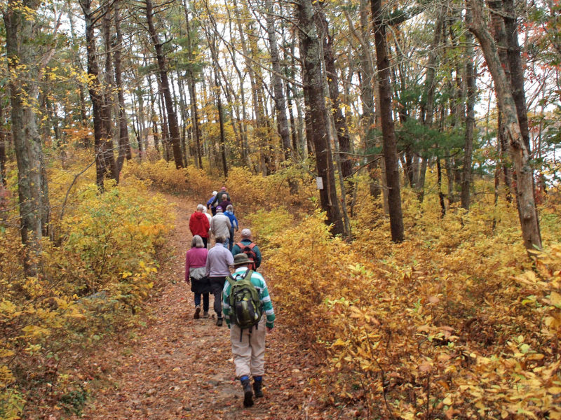
Discover Falmouth’s glacial moraine trail, which winds from Bourne to Woods Hole.
A moraine is a ridge of debris left behind by a glacier. Falmouth’s Moraine Trail, which was established by The 300 Committee and the town of Falmouth, allows hikers to travel the spine of the moraine that stretches from Bourne to Woods Hole. Running approximately nine miles from Route 151 south to Goodwill Park, the hilly trail leads hikers through pine forests at several protected properties. Hiking the Moraine Trail from end to end is a unique way to enjoy Falmouth’s natural scenery. (Purchase a full Moraine Trail map at The 300 Committee’s office.)
10. Beebe Woods & Peterson Farm (Falmouth)
Another Falmouth treasure, Beebe Woods is a former summer estate that’s now protected for everyone to enjoy. Set off on Beebe Wood’s winding trails to discover two scenic kettle ponds and the fields of Peterson Farm, an adjacent property where a llama guards a herd of sheep. The dense network of trails in Beebe Woods and Peterson Farm includes nearly four miles of former carriage paths and three miles of foot paths, which means there’s plenty of walking to be done. (Download trail map)