How to hike the Falmouth Moraine Trail
Cape Cod is not a place traditionally known for its hilly hikes and thick forests. So it may surprise you that Falmouth is home to one of the Buzzards Bay region’s longest and most interesting hikes: the 9-mile Moraine Trail.
Moraines are geologic formations that were left behind by glaciers during the last Ice Age. Between 18,000 and 15,000 years ago, expansive sheets of ice covered what is now Buzzards Bay. As this glacier advanced and retreated, it deposited large rocks and debris that formed Cape Cod and the Falmouth moraine.
The Falmouth Moraine Trail exposes the Cape’s exciting glacial history like no other. Along this extensive north-south trek, you can climb peaks that offer views of Buzzards Bay and explore rich valleys with bogs and vernal pools — all while the salty sea air sweeps through the woodlands around you.
Here’s how you can hike the Moraine Trail’s three sections — or the entire 9-mile trail if you’re up for an adventure! (A detailed print trail map is available from The 300 Committee’s office in Falmouth.)
Southern Section: Goodwill Park, Falmouth Town Forest, and Long Pond (4.55 miles)

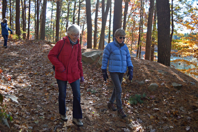
As you loop around Long Pond, there are some inclines that give you fantastic water views.
The southern section of the Moraine Trail (from Goodwill Park to Brick Kiln Road) is the most extensive and well-trafficked portion. The trails here are relatively wide, and many visitors bring dogs to walk on leash. If you’re new to hiking or want to give the Moraine Trail a try for the first time, this is a good place to start.
Begin your hike at Goodwill Park, a popular spot for locals to enjoy the great outdoors. It’s the main access point for 3.55 miles of trails that surround Long Pond, one of Cape Cod’s characteristic “kettle holes.” These groundwater-fed ponds are another remnant of the area’s active glacial past.
As you loop around Long Pond, there are some inclines that give you fantastic water views. If you’re lucky enough, you may see a hawk swoop down over the pond to catch a fish! There are many trail offshoots from this main loop where you can see other interesting sights like small ponds, bogs, and vernal pools.
It’s here where you’ll become familiar with the white trail blazes that will guide you along the majority of the Moraine Trail. Two blazes on a tree indicate that there will be a turn ahead; a blaze set to the left signifies a left turn and to the right, a right turn.
Heading north from Long Pond, you’ll traverse a few steep hills before you are encompassed by majestic stands of white pines. This section of the Moraine Trail is known as the Cathedral Pines, and it’s worth the hike even if you aren’t continuing north from here.
Central Section: Collins Woodlot and Kettle Holes Conservation Area (2.2 miles)

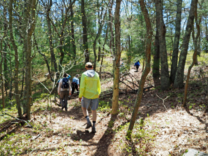
The Moraine Trail becomes steeper and more varied in elevation along the central section.
The central section of the Falmouth Moraine Trail runs from Brick Kiln Road to Thomas Landers Road. It’s composed of two conservation areas: Collins Woodlot and Kettle Holes Conservation Area.
If you’re continuing your journey north from the southern section, then enter Collins Woodlot at Brick Kiln Road across from the Cathedral Pines. If you want to start your hike in the central section, then park on the Service Road by a well-loved trailhead to Collins Woodlot.
Within Collins Woodlot, there’s a mile-long trail network that will take you through varied woodlands with glacial depressions and jumbled rocks. White blazes signify the Moraine Trail, but there’s plenty more to see off the main path. Check out the historic fire tower looming over the woodlands; built in 1914, the fire tower is still used today during dry seasons to help reduce the risk of forest fires.
As you continue north toward Kettle Holes Conservation Area, you’ll follow the Service Road to Blacksmith Shop Road. The entrance to Kettle Holes is again marked by white blazes. As you re-enter the woods, you’ll quickly forget the roads behind you as you’re immediately swept back into the wonders of nature. Whimsically gnarled scrub oak and stoic white pines line this 1.2-mile portion of the trail. Look west through the peaks in the woodlands, and you’ll see a beautiful view of Buzzards Bay.
Northern Section: Anna Gordon Moraine Trail and Wildlife Corridor (2.9 miles)

Despite being so close to roads and a golf course, the northern section of the Falmouth Moraine Trail has many moments of beauty, from hilltop water views to rocky glacial erratics.
The northern section of the Falmouth Moraine Trail, known as the Northern Moraine Conservation Area, runs for 2.9 miles from Thomas Landers Road north to Route 151. It includes two parts: the Anna Gordon Moraine Trail and a Wildlife Corridor along Route 28. This section most closely follows the path of the glacial moraine and offers some steep inclines that will challenge hikers of all levels.
If you’re continuing north from Kettle Holes Conservation Area, you’ll have to dip into the Falmouth Technology Park for a brief snap back to the modern world. If you are looking to start the northern section from here, this is a great place to park.
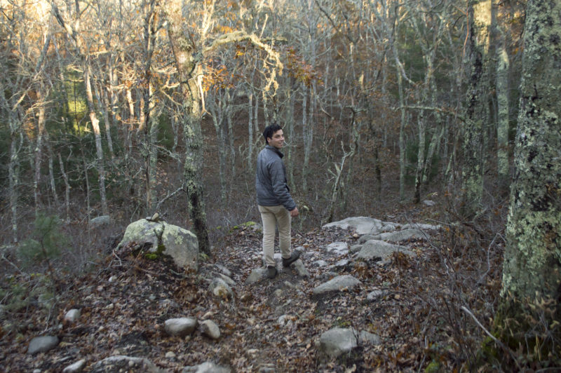
As you enter the northern section at Thomas Landers Road, you are submersed into woodlands once again. Glacial debris becomes more apparent in this part of the trail, with large chunks of boulder emerging from the earth around you. Multiple paths branch off from the main trail, though not all connect back – so be aware if you begin to wander! This section of the trail is named the Anna Gordon Moraine Trail after a member of the family that once owned this land.
From here, you’ll connect with the Wildlife Corridor, the northernmost point of the Moraine Trail. This final leg of your journey is shrouded by pitch pine and scrub oak with an understory of blueberry and huckleberry bushes. The majority of the Wildlife Corridor is wedged between Route 28 and the Balleymeade Country Club. Despite being so close to manmade structures, moments of beauty are easily apparent, including more views of Buzzards Bay at the peaks of the moraine.
When you reach the railroad tracks, celebrate your accomplishment – you’ve made it all 9 miles! Beyond this point lies Route 151, the northern terminus of the Moraine Trail. If you want to start your next hike from here, you can park along the opposite side of Route 151 and carefully cross the road to reach the trailhead.